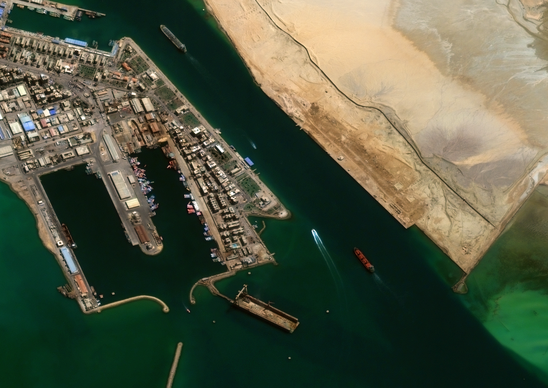
There are only two European operators of very highresolution optical satellites — and Geosat is one of them. This Portuguese company, founded in 2021, has focused on defence and security from the outset, providing imagery and data analysis from a wide range of operational theatres.
The story of Geosat is the story of the creation of a global space operator in Portugal. Established in 2021 as a joint venture between CEiiA (Centre for Engineering and Product Development), Omnidea (an aerospace company), and the AIR Centre (Atlantic International Research Centre), the company began operations by acquiring two satellites that were already in orbit, as well as establishing global partnerships, particularly with Thrusters in Mexico and KSAT in Norway. Initially, it mainly sold imagery for regional coverages, crop monitoring, and defence and security support in remote regions. Later, Geosat began to provide information derived from those images, showing, for instance, what had changed over the past few days, months, or years; what vessels, airplanes and vechiles were there; or what types of roads existed in a region, enabling better logistical planning.
These near-real-time images provide a comprehensive situational overview by integrating and analysing data from multiple sources.
Leia o artigo completo.